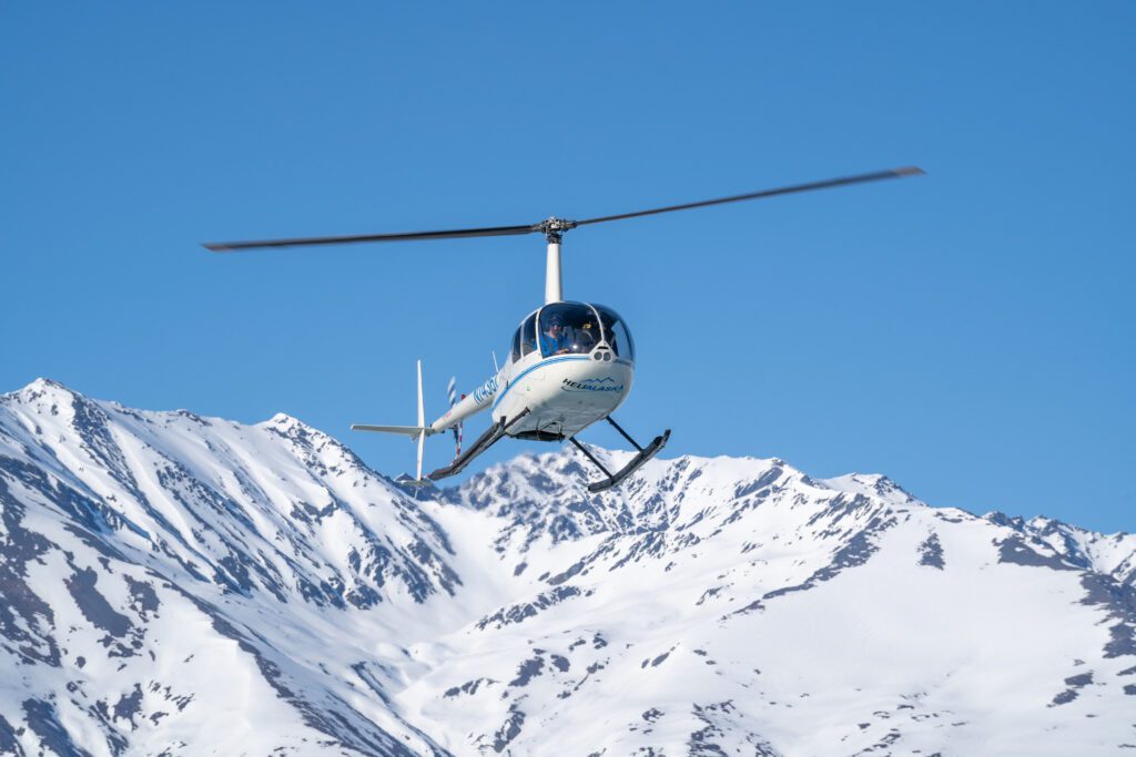
Safety is our top priority. We meticulously maintain our fleet, adhering to stringent safety protocols, giving you peace of mind during your charter.
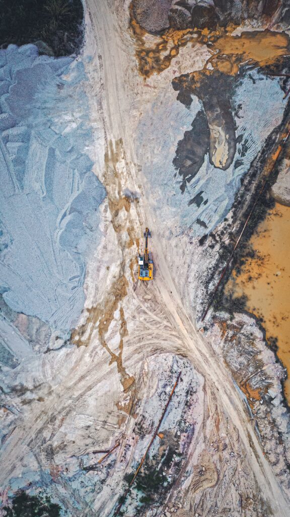
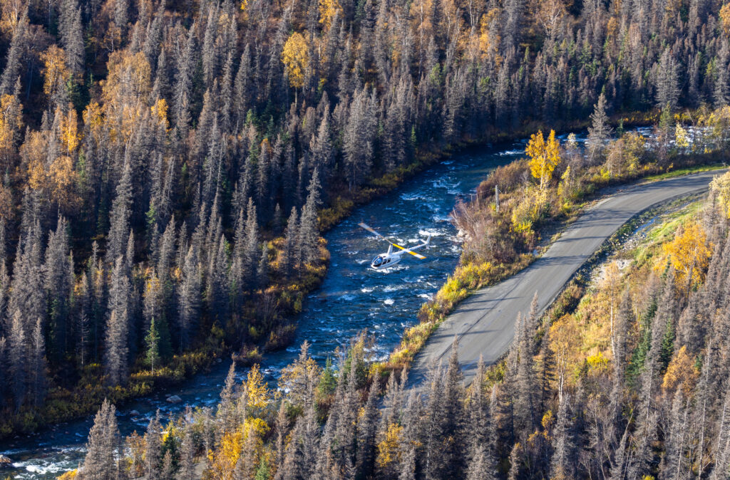
Our versatile helicopters, equipped with the latest technology, is ready to tackle a wide range of projects. From crew and cargo transport to aerial surveys, Heli Alaska has you covered.