Heli Alaska is committed to continuous improvement. We stay up-to-date with the latest industry advancements and best practices, ensuring we deliver cutting-edge charter work services that exceed your expectations.
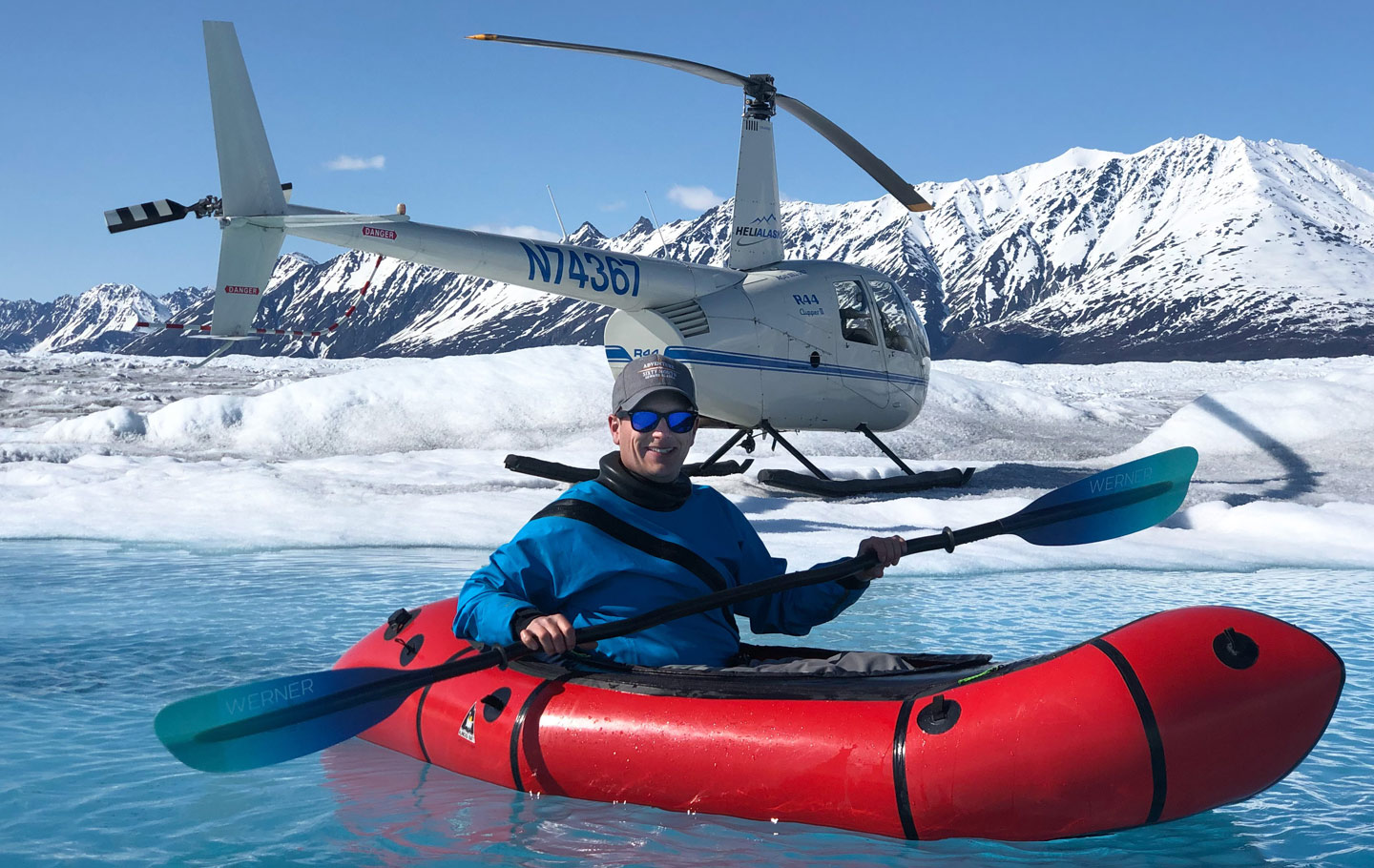
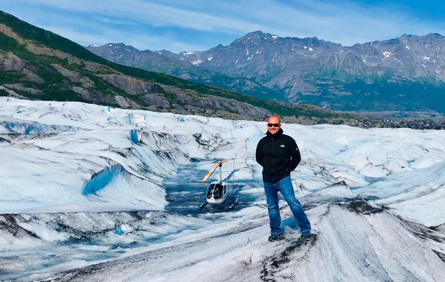
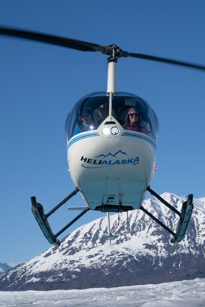
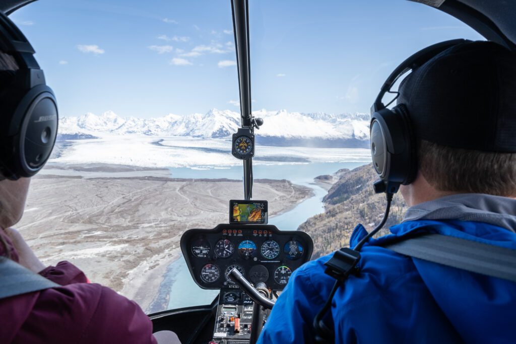
With our in-depth knowledge of the local area & challenging terrains, we can confidently navigate even the most remote locations. Use our expertise to survey safely & efficiently, no matter the location.